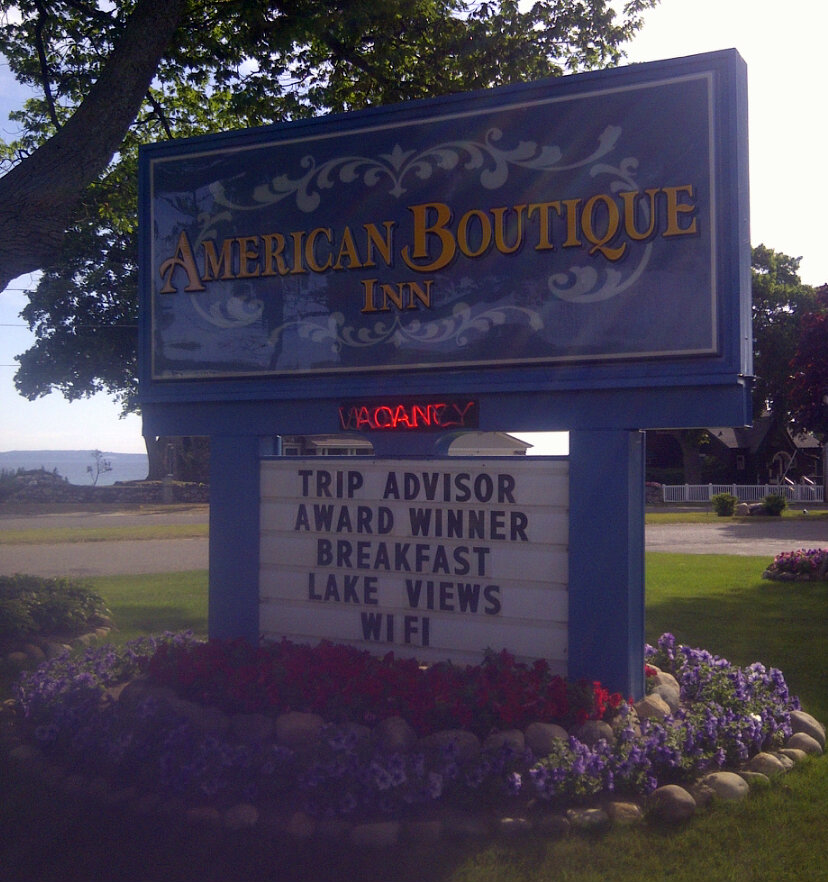
Today, we were still in Michigan's Upper Peninsula, but we would be leaving Mackinaw City. First, I went to get continental breakfast, and was soon followed by Mom. We ate, and then got things together to check out or something. Before we left, we went across the street to look around a bit.


 |
| I bought post cards from this shop. |


We took some photos of our hotel.

No, not that place, we were across the street.
 |
| At the intersection of Huron and Henry. |

And then we were off to Marquette, MI, and you know what that means! More driving!


As we approached Marquette, we saw a waterfall, and although there was a lot of mud on the climb to the waterfall, my mom clarified that it was "just dirt", and boy did my feet get dirty.
  |
| On the left, you see a photo of my mother taking the photo on the right. |


We were then on our way to Marquette, driving past Lake Superior.


On the way, I read the Wikipedia page for Marquette aloud so we would know something about the city.


And after long last, we were in Marquette, where our goal was food. We parked in a public parking structure and walked to a well-rated (on Yelp) restaurant on a street downtown. Donckers on West Washington. I got a sandwich and a pasta salad. Mom got a burger and some chips.

After lunch, I washed my feet in the bathroom, then we got some chocolate from their store downstairs. Next, we went to Book World, which smelled and looked exactly like the Book World that I worked at in Stevens Point in 2003.
 |
| Book World is amazing, and I recommend visiting one near you today. |


We visited a few other shops as we walked down the street, back to the car.


Our next destination was, as according to the Wikipedia page, Marquette residents' favorite park, Presque Isle Park until we remembered that we also wanted to see the Superior, or "Yooper" Dome. As luck would have it, the largest wooden dome in the world was on our projected route to the park.
 |
| Take in the awe of the World's Largest Wooden Dome. |
 |
| The Superior Dome and a port for an industry of some kind are part of the view in this part of the park. |


 |
| I waded into the lake, in part to further clean my feet, and made a video. |


We then walked along a trail on the land you see in the photo on the right, above.


  |
| One of the great things about the Superior Lake is the clear water. |


We soon found out where everyone was headed, parked, and then wandered off in different directions. Here is what Mom photographed.


Meanwhile, I wandered down a path and made my way down the rocks to experience the cold waters of the Superior Lake.


Eventually, I sent Mom a text and told her where I was so we could meet up. I told her to go wade in the lake a little too, but she was in for barely a minute before coming back.


  |
| Although they were rolled up, I waded far enough into the lake to accomplish this wet-pant look. |


You used to take 29 to 43 to 66 to P to 127 to O to 34, but now, you take 29 to 49 to 39, which is also 66, but not P, then you go to 137 to Q to C to 13.Near the end, I realized that it was a real shame that I didn't record it, but I'll always have the memory.
She then proclaimed that "P isn't P anymore. Of course it's still P, it just goes through Milladore." She might have said, "of course there's still P," but that's just as nonsensical. Like, what was she thinking? That part of my self worth or my retirement investments depend on living close to a County Highway P? It's just a road!
In any case, it is true, the highway that was once P is now 66, and the old Highway 10, through Milladore and Blenker, is P. The new Highway 10, at least east of two of the three roundabouts south of Marshfield, is pretty 'effin sweet, fwiw.
Then, soon, we were in Shawano, so I put my bags in my rental car while my mom and aunt talked. They went through a string of numbers to other numbers to letters too, but it was too quick for me to get any footage. My aunt gave me directions to get home: 29 to past Wittenberg, then left on 49 to the T intersection. Turn right toward Rosholt on 66, not Iola. She stressed this enough for me to write it down: Don't go to Iola. 66 would take me all the way to Point, and I know how to get home from Point (66 to C to O to C through Rudolph to 13/34). My mom and my aunt were talking and talking, and I decided that I was going to go, so I said goodbye, got in my car while the directions were fresh in my head, and headed out, past the Perkins to stay on 29.
 |
| It was excessively pretty. |
Soon enough, I left Marathon County and things started looking less foreign.
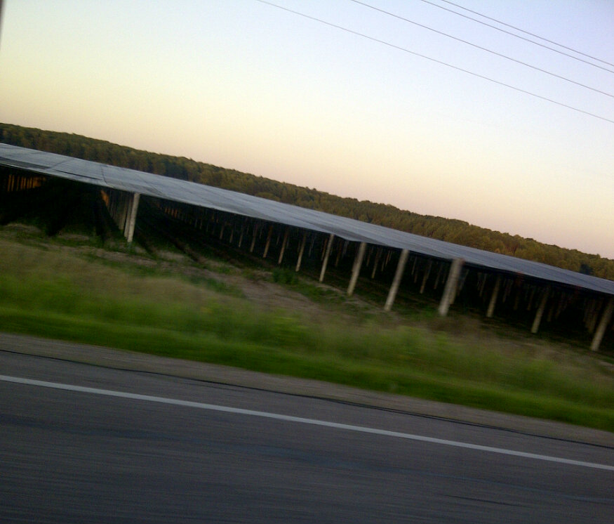  |
| I bet that you have no idea what is growing in this field, and that is why you fail. |
 |
| Polish Heritage Highway, so it drinks and farts a lot? I kid, I kid. |
  |
| There is a country bar on the left, and tall pine trees on the right. |
I parked, then texted my mom something like, "nm, I found it," and went in. There was flavored licorice on sale, so I petulantly put two bags of it into my basket, then got some candy fruit slices on account of my can't-find-the-stupid-Copps-that-I-didn't-NEED-to-go-to-and-now-it's-after-sunset crabbiness. Suddenly, I felt like I was overdoing it, and put one of the bags of licorice back. I bought the right deoderant, some hair bands, a 12-pack of La Croix, maybe something else, and finally some cheetos and barbeque chips, again, on account of my petulance that it was now so late.
But then I was on the road again, driving through Stevens Point, then to C, to O, and to C, where I saw a beautiful crescent moon at the top of the hill where this one farmer - we'll call him Mack Beiber - lives. I tried to photograph it, but mostly failed.


And then, like magic, I was at my parents' house. I'm sure that I did things, showed off stuff that was acquired, maybe even had a La Croix, but I forget the specifics. I must have gone to bed, cuz the next day begins with me getting out of bed, so yeah.
No comments:
Post a Comment